23-25 July 2016 - Denali National Park
After dumping our tanks and
taking on water at the Chena River Wayside State Recreation Area, we left
Fairbanks heading south on the George Parks highway to Denali. As has been the
pattern, we had a mix of rain and sunbreaks all the way. The steep-walled
Nenana Canyon just north of the entrance to Denali was quite impressive.
After checking in at the
Wilderness Access Center, we dropped our car off in the overnight parking area
at the visitor’s center and drove the 29 miles into the park to Teklanika
Campground. The 14.5 miles to the Savage River are paved and open to all park
drivers; the 15 miles after that are narrow dirt and gravel. The earlier rain
had settled the dust on this stretch, but when we arrived at the campground our
rig was the dirtiest it’s ever been. We had plenty of sites to choose from in
this 53-space park, as we arrived fairly early in the afternoon. We ended up 2
sites down from another Newmar Dutch Star!
 |
| Our filthy home! |
The next day we rode the park shuttle bus up to the Eielsen Visitor Center, 66 miles into the park, with stops at several viewpoints. Our driver, Tracy, provided a running commentary that made the trip quite enjoyable. Our only disappointment was that, as expected, Denali was shrouded in clouds, and we could not see any of the really high mountains. That said, the photos tell the story better than words:
 |
| Teklanika River just south of the campground |
 |
| The first bear we saw along the way - he was quite far away up on a hillside |
 |
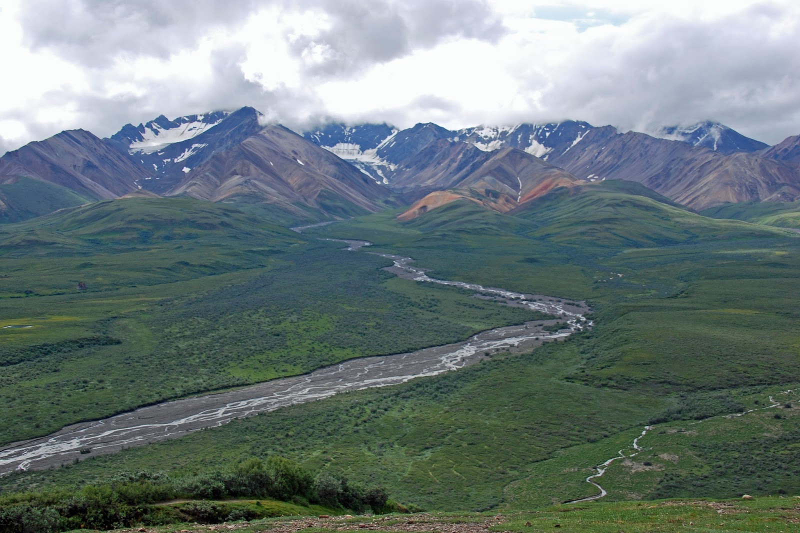
| Polychrome Glacier viewed from the Polychrome Overlook. We stopped here on the way into the park, but not on the way back due to bear activity. |
 |
| Another view from the Polychrome Overlook; if you click to enlarge the photo, you can see why it's called polychrome. |
 |
| A moose in the shrubs; he was also quite far from the road. |
 |
| View up the valley toward Denali. If the mountain had been out, it would have filled the entire space above the farthest mountains in this picture. |
 |
| Looking south toward Muldrow Glacier (not visible) from the Eielson Visitor Center. Mt. Eielson on the right, with all of the larger mountains hidden in clouds. |
 |
| At Eielson Visitor Center |
 |
| A sick-looking caribou standing on a gravel bar in the Toklat River at the Toklat River Ranger Station |
 |
| Looking up the Toklat River |
 |
| Rain approaching over the Toklat River |
 |
| The 3rd bear we saw, on a ridge right by the road. He had been wandering through the Polychrome Overlook area, and had come down to the road to knock over the orange cones marking a small repair site. |
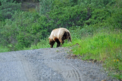 |
| The same bear browsing his way down the roadside. |
 |
| View to the south back near our campground. |
In retrospect, we wished that we had planned to stay a few days at the Riley Creek Campground at the park entrance, in order to hike some of the trails in that area - no marked trails are around Teklanika Campground, and walking along the rocky river bank was hard work.


No comments:
Post a Comment